
From space
Valezim from space
Satellite data gives Valezim a starting record, including the damage from the fire of 6 September 2025. These figures describe the land; they are not results from EarthCell funding.
Land cover · 2021
67%
tree cover, 29% grassland and 3% shrubland. Pine, eucalyptus and oak all count as trees.
Fire · 6 Sep 2025
22.8 ha
of the hub’s 31.8 hectares lay within the fire outline.
The fire reached most of Valezim, and more than half its mapped cells were badly burnt. Recovery will depend on what happens in the first years after the fire.
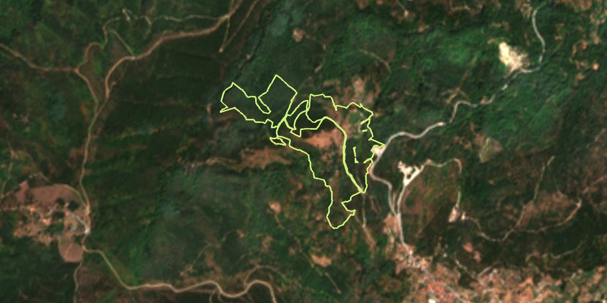
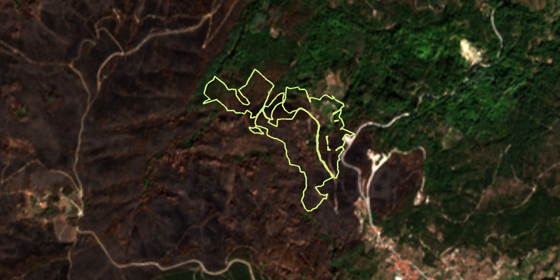 26 Aug 2025 · before25 Sep 2025 · after
Compare satellite photographs from just before and after 6 September 2025. The lime line marks the Valezim boundary.
The place
A working landscape that lost its care
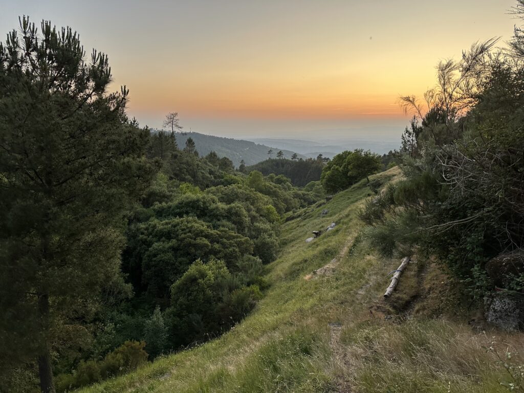
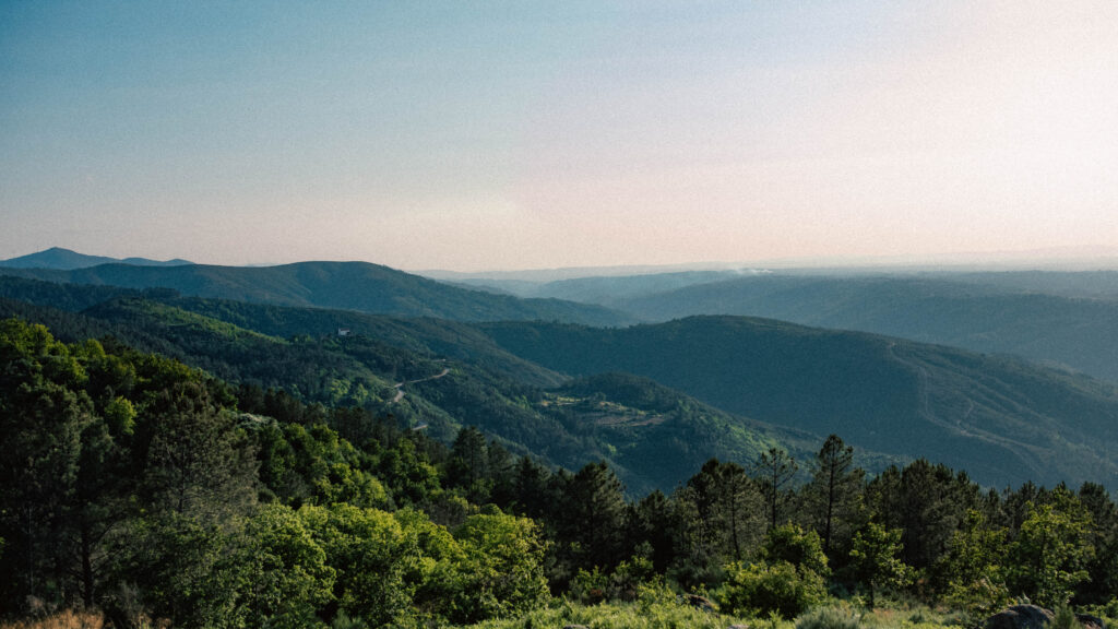
Valezim lies on the western side of the Serra da Estrela, Portugal’s highest mountain range and largest natural park. Smallholders built terraces and channels to make its steep slopes productive. Springs supplied crops, pasture and woodland.
As farms were abandoned, terraces and water channels fell out of use. Scrub spread, along with pine, eucalyptus and mimosa.
Restoring the hub means bringing people, water and the land back into a workable relationship, as well as rebuilding native woodland.
Fire burned around a fifth of the Serra da Estrela Natural Park in 2022. In 2025, it reached both of Bioestrela’s main regeneration hubs.
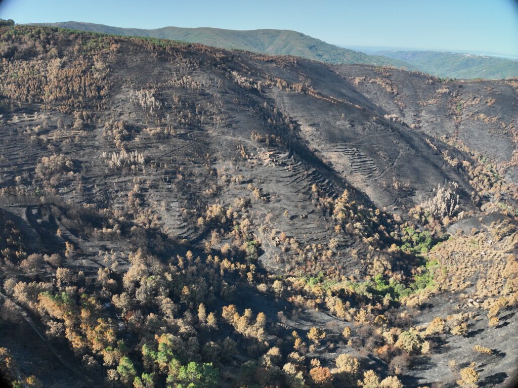
Valezim after the fire. C Level project photograph.
The work
Six parcels, one plan
Valezim’s 31.8 hectares include old terraces, woodland, cropland and pasture. Work will vary from place to place: removing invasive trees, protecting natural regrowth, reopening water channels or planting native species. Bioestrela is developing the plan with the people who own and know the land.
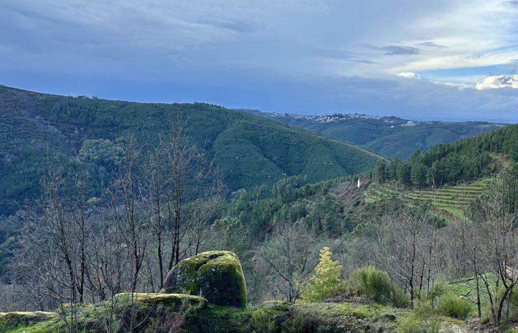
What 1,000 trees at Darnelas taught us
In February 2026, 1,000 oaks, chestnuts and walnuts were planted at Darnelas. Their first summer showed how much work follows planting on a hot mountain slope.
Spring water and simple irrigation are helping them establish. Survival over the coming years matters more than the number planted on one day.
Local livelihoods
Bioestrela has explored work with younger local beekeepers. Its Project Idea Note also identifies possible livelihoods involving honey, fruit, herbs, natural products and low-impact tourism.
These are ideas to develop with local people, not commitments already made.
Why now
Why funding is needed now
Portugal’s AIGP programme pays for basic forest management and fire safety. Bioestrela proposes additional ecological work: native woodland, soil and water repair, local jobs and wildlife monitoring. Surveys, crews, watering and monitoring need funding before measured biodiversity gains could earn a certificate.
How it works
How EarthCell works here
Valezim’s land belongs to local owners; it does not need to be bought. The hub is mapped into about 130 quarter-hectare EarthCells, each with a code and record. A cell gives a supporter a place to follow. Funding for water, fire safety, staff and monitoring may be spent across the whole hub.
Choosing a cell gives no ownership or say in the land’s management.
The record
What is recorded, and what comes next
The record starts with the 2026 boundary and the satellite baseline above. As work proceeds, it can add dated images, drone surveys, location-tagged photographs, planting and care records, wildlife observations and reports. Entries identify their source and whether they are project updates or independent checks.
The first full wildlife survey is planned for spring 2027 as part of Bioestrela’s work towards Plan Vivo Nature. Okala designed the sampling plan. Across Bioestrela, 30 wildlife cameras and 15 sound recorders will be deployed in two rounds, each for about six weeks.
Valezim has 16 survey points. Each has a camera, a 20-metre square in which every tree is identified and measured, and two one-metre squares for smaller plants. Seven points also have sound recorders to help identify birds. Okala will combine records of trees, plants, mammals and birds into a biodiversity score for comparing later surveys.
Camera footage remains on the devices until they are collected, so the first images will arrive after the survey. Exact survey points are kept off the public map. Plan Vivo Nature identifies them shortly before each round to prevent effort being concentrated only where measurements will be taken.
Explore
Explore Valezim
The map shows the six parcels and their EarthCells. Satellite, street and contour views help make sense of the slopes and tracks.
Choosing a cell does not reserve it or start a payment.
If the map does not load, you can still contact us about the hub.
Certification
Progress towards Plan Vivo Nature
Bioestrela is developing Valezim for Plan Vivo Nature, a biodiversity standard. Its Project Idea Note has been approved, and the full design is being written. Certification is not guaranteed. An EarthCell contribution does not buy a Plan Vivo certificate, offset or biodiversity net gain unit.
Who is doing this
Who is working on it
Bioestrela is coordinated by C Level, URZE and ReflorestarPT with local landowners and communities, within the Serra da Estrela Natural Park’s conservation requirements.
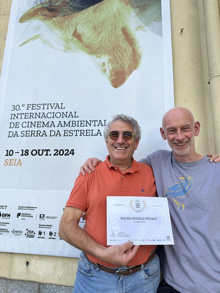
URZE, the forestry association of the Serra da Estrela foothills, brings local forestry, land management and community experience.
ReflorestarPT contributes restoration and agroforestry expertise.
C Level helps develop the project and connect it with funders. Zurich Insurance funded the initial design phase for the regeneration hubs.
Talk to us
Discuss supporting Valezim
Contributions will be agreed individually once the hub budget is approved. Organisations may be able to support a part of the work, a group of cells or the whole hub.