
Why EarthCell exists
Since 2000, C Level has helped businesses fund nature projects and the communities behind them. We kept seeing the same problem: projects need money to begin, but the larger sources of finance often arrive only after the work is under way.
That first money might pay for a local team, a nursery, a survey or a fire break. In some places, it is needed even sooner, to secure land for the Indigenous peoples or local communities who care for it.
EarthCell helps fund either kind of work. It also gives supporters a clear view of the place and people their money supports. You can open a plot on the map, see the project’s plans and follow its record as the work proceeds.
A place on the map, a view of the whole project
We divide each project into EarthCells, plots of about a quarter of a hectare. Each has a permanent code, a link and a record you can return to.
Your contribution supports the agreed project budget. A nursery, field team or fire break may serve land well beyond the plot you follow. An EarthCell gives you a view of that work; it gives you no ownership or control of the land.
What you can see
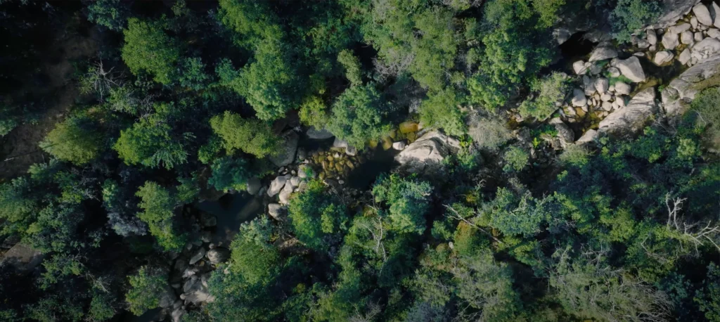
Each project begins with a satellite baseline: tree cover, loss, fires and forest type, with links to the public data. As work starts, we add dated satellite images, drone surveys, field photographs and reports where available. Every entry says what it is and where it came from.
Images from above can show change. People on the ground can tell us more about what changed and why. We keep those kinds of evidence distinct. If a survey is late or there is nothing new to report, the record should say so.
The first places
EarthCell begins with two partners and three mapped sites. None is open for contributions yet.
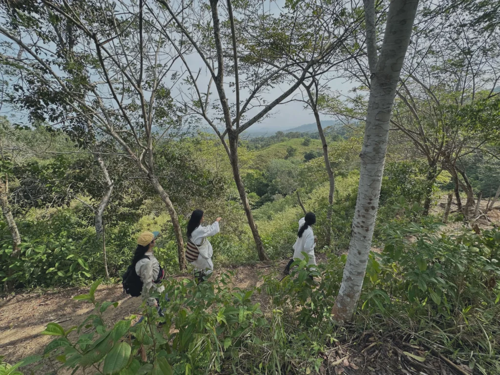
Sierra Nevada de Santa Marta, Colombia
La Esmeralda, Colombia: returning Kogi land to Kogi care
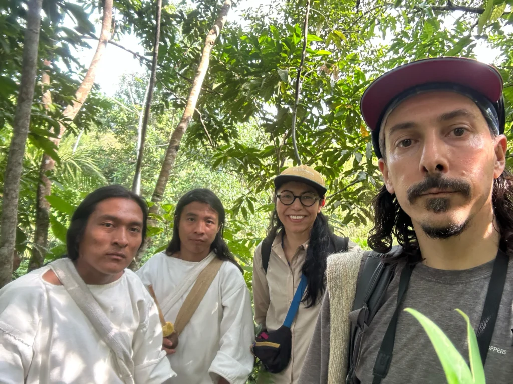
The Kogi call the Sierra Nevada de Santa Marta the Heart of the World. They are working to buy back important parts of their ancestral territory that are now privately owned.
La Esmeralda is the first site mapped: about 200 hectares containing an important sacred place. The Tairona Heritage Trust is working alongside the Kogi. Securing the land comes first; the Kogi decide how it is cared for afterwards.
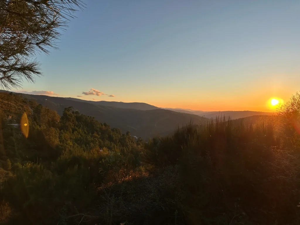
Serra da Estrela, Portugal
Valezim, Portugal: restoring 31.8 hectares
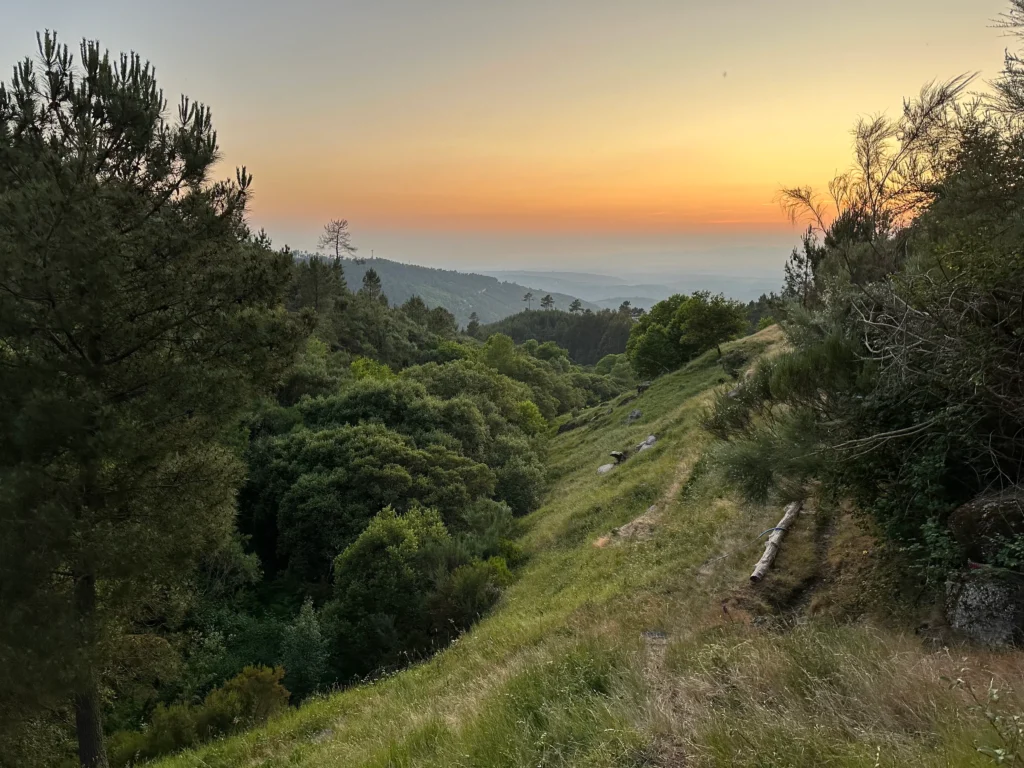
Six parcels of terraces, woodland, cropland and pasture sit within Portugal’s Serra da Estrela. Decades of abandonment left the slopes vulnerable to fire, and the 2025 fire reached most of the hub.
Bioestrela plans to restore native woodland, improve soil and water, reduce fire risk and support local work on the land. Its budget is still being agreed. The land stays with its local owners.
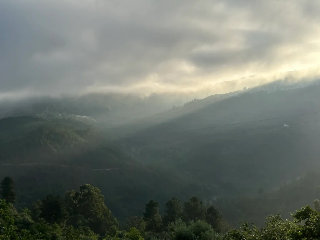
Serra da Estrela, Portugal
Furtado, Portugal: helping 14 hectares recover
Furtado includes steep woodland, olive groves and protected habitat. Almost all of it burned in 2025. Bioestrela’s plan is to protect what survived and help damaged areas recover. The budget is being agreed, and the land remains with its local owners.
The current project photograph shows the wider Serra da Estrela, rather than Furtado itself.
How EarthCell fits with 30×30 and certification
The international 30×30 goal calls for protection of at least 30% of the world’s land and sea by 2030, including recognition of Indigenous territories. EarthCell works at the scale of a particular place and the people responsible for it.
Carbon and biodiversity certificates come after a defined result has been measured and checked, if a project reaches that stage. EarthCell funds earlier work. We support standards such as Plan Vivo, and some projects may eventually use them. Others may not.
Supporting an EarthCell does not buy a credit, offset an emission or give a right to any future certificate.
More about EarthCell
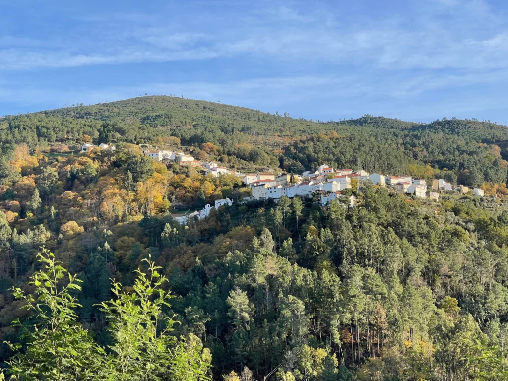
Talk to us
We are developing EarthCell with our first partners. If your organisation wants to help a project get started and follow the work over time, get in touch.