
An EarthCell record begins before restoration produces a result. It starts with the project boundary, what is known about the land and what the team plans to do. Dated images, surveys and field reports are added as the work proceeds, so supporters can return to the same place and see what has changed.
Each project page already has a satellite baseline. Later monitoring will add to it when work and surveys begin.
Start with the land as it is
For many projects, detailed measurement starts when they apply for certification. EarthCell records an earlier stage: the condition of the land, the decisions being made and the people responsible. Later entries can then be compared with that starting point.
What satellites can show
Repeat images can reveal changes in vegetation, fire damage and land use across a whole project. They have limits. Cloud obscures the ground, and a hillside can look very different in a wet or dry season.
An image can show that vegetation changed. On its own, it cannot establish why, count wildlife or prove how much carbon is stored. It helps us decide where fieldwork is needed.
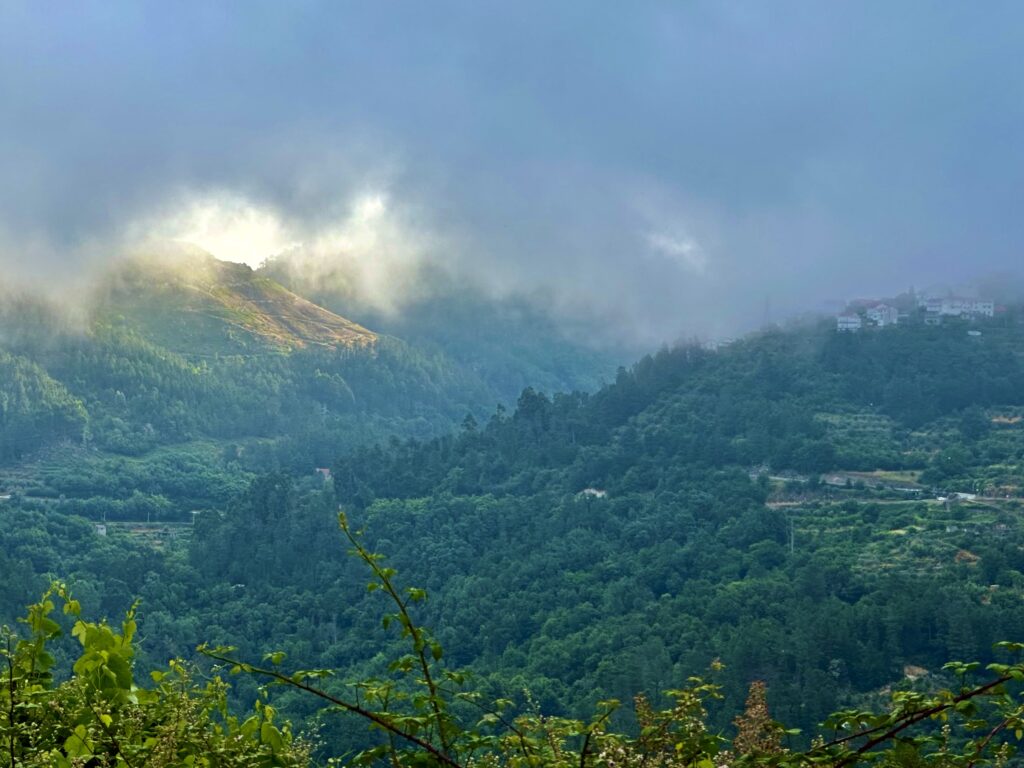
What drones add
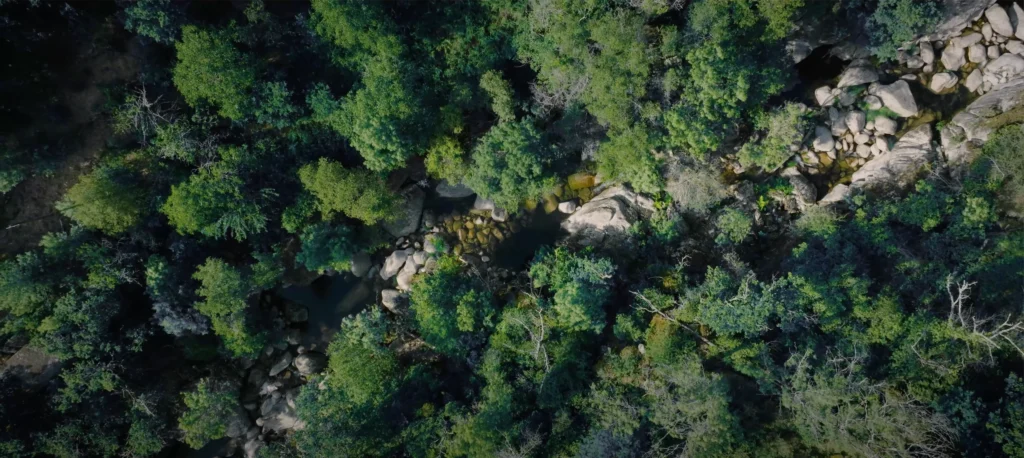
Drones can record planting, erosion, regrowth and fire damage in finer detail. A single flight is a snapshot. Repeat flights over the same route and at a similar time of year make comparison more useful.
What people on the ground add
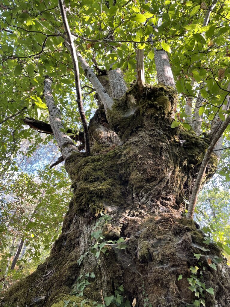
Field teams can identify species, record the work carried out and investigate a change seen from above. Depending on the project, the record may contain location-tagged photographs, repeat photographs from one spot, planting and maintenance notes, nature surveys, reports or interviews.
How entries are labelled
We distinguish between three things:
- Spending and work: what funding paid for and what was done. Completing an activity does not prove a benefit to nature.
- Observations: what a survey or image found, with its date, source and method. We call a finding verified only after an independent check.
- Verified results: a defined result assessed independently under a recognised standard. The check applies to that result and period; it does not retroactively verify every earlier entry.
Gaps and setbacks stay visible
A drone flight may be cancelled. A survey may be delayed. Drought or fire may undo earlier work. We record these events and identify old images as old. If there is no new capture, we say so.
Some locations remain private
We keep accurate records, but a public map should not expose sacred places, vulnerable species, private land details or someone’s personal information. The people responsible for a project help decide what can be shared. Some records may therefore show a wider location or less detail.
Claims for business
A company can describe what it funded and cite what the record later shows. An EarthCell observation alone cannot support an offset, a reduction in reported emissions or a verified claim for nature. Organisations needing a verified result for reporting or public claims can ask C Level about its carbon projects or voluntary biodiversity credits.
Read more
What is an EarthCell?
How each cell links one piece of land to early funding and a growing record.
How funding works
What the money pays for, who receives it and what happens if the plan changes.
Nature Guardians
Why the people who look after the land shape the work and the evidence.
EarthCell for business
How a company can fund early restoration and describe its support accurately.