
From space
The starting picture from space
La Esmeralda’s satellite record begins before any EarthCell-funded work. Each figure is linked to its public source.
Tree cover · 2000
59%
of the site, compared with 81% in the surrounding forest.
Tree loss · 2001 to 2025
19 ha
over 25 years; about 1 hectare since 2014.
Forest type · 2020
38%
open or farmed land, compared with 10% in the surrounding forest.
That amounts to roughly 76 hectares of open or farmed ground within a largely wooded landscape. Forest may be able to return there once the land is in Kogi care. Satellite classifications are less certain in these cloudy mountains, so the figures should be treated as a guide.
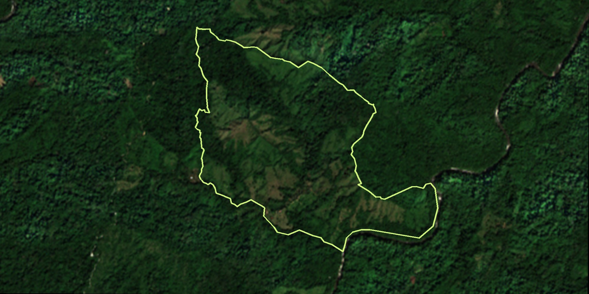
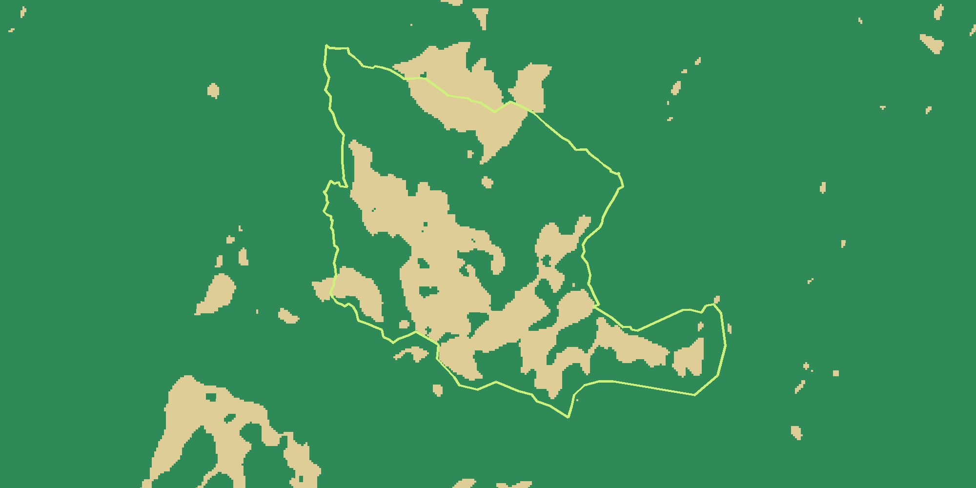 Satellite · 23 Dec 2025Forest map · 2020
Compare a December 2025 satellite photograph with the 2020 forest map. Forest growing back on its own. Open or farmed land. The lime line marks La Esmeralda’s boundary.
The place
A sacred place in private hands
The Kogi call the Sierra Nevada de Santa Marta the Heart of the World. La Esmeralda, about 200 hectares, contains an important sacred site. It is currently privately owned. The Kogi are working with the Tairona Heritage Trust to buy it back and return it to Kogi care.
La Esmeralda is one of three sites in the wider Kogi programme. See all three.
Where La Esmeralda is
- 1PlanningBoundary mapped
- 2ScopedNeeds and partners agreed
- 3BudgetedBudget and fee published
- 4OpenContributions accepted
- 5FundedA step’s target met
- 6Under wayWork recorded
- 7EvidencedRepeat observations
- 8CertifiedEntry into a standard
The project is at the planning stage. The map’s stages show the route ahead: planning (boundary mapped), scoped (needs and partners agreed), budgeted (budget and fee published), open (contributions accepted), funded (a step’s target met), under way (work recorded), evidenced (repeat observations) and certified (entry into a standard). Later stages are not claims about the project’s current status.
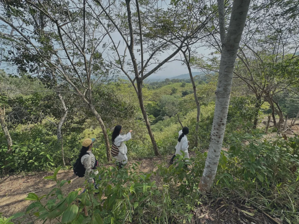
Munekan Masha, another site in the Kogi EarthCell programme. C Level project photograph.
The idea
What is planned
The first task is rematriation: securing the land and establishing the legal route for its return. A Kogi-led plan for its care and recovery would follow. EarthCell can help fund either stage, subject to budgets and terms agreed with the Kogi and the Trust.
Land is bought as a whole. Funding a mapped cell does not buy that part of the property. Each cell gives a supporter a permanent place to follow as dated satellite images, field evidence and project reports become available. The Kogi decide what happens on the land and what can be shown publicly.
Why now
Why funding is needed early
Land is offered for sale on the owner’s timetable. Carbon and biodiversity finance generally comes later, once results can be measured and checked. By then, the opportunity to buy may have passed.
The proposed steps at La Esmeralda are:
- Secure the chance to buySecure an option or right of first refusal.Budget being agreed
- Legal and title checksCheck title and the legal route to Kogi stewardship.Budget being agreed
- PurchasePurchase the land.Budget being agreed
- Return to Kogi stewardshipReturn it to Kogi care.Budget being agreed
- First field surveyCarry out a first field survey alongside the satellite baseline.Budget being agreed
- Stewardship planDevelop a stewardship plan under Kogi authority.Budget being agreed
The order and budget for each step are still being agreed. These are proposals, not open funding offers.
How it works
799 places to follow
La Esmeralda is mapped into 799 EarthCells. Each has its own code and record.
A place you can come back to
You can open a cell and return later to see what has been added. Choosing several cells for an enquiry does not reserve them.
The Kogi decide what is shown
Some sites and knowledge should not be mapped in public. The Kogi and the Trust decide what information appears, its precision and who can see it.
The record
What is on the record now
The 2026 boundary has been supplied for the map, and the Tairona Heritage Trust agreed in October 2026 that it can be published. The area and 799 cells have been calculated from that boundary. The October 2026 satellite baseline covers tree cover, tree loss and forest type, with sources. The project is at planning stage; contributions are not open.
- 2026Project boundary supplied for the map
- Oct 2026The Tairona Heritage Trust agreed the boundary can be published
- 2026The area and 799 cells calculated from that boundary
- Oct 2026Satellite baseline: tree cover, tree loss and forest type, with sources
- Oct 2026Status published: planning stage, contributions not open
- Not yetRepeat monitoring images
- Not yetDrone surveys
- Not yetLocation-tagged field evidence
- Not yetVerified ecological change
- Not yetCell-level carbon or biodiversity measurements
Repeat monitoring images, drone surveys, location-tagged field evidence, verified ecological change and cell-level carbon or biodiversity measurements have not yet been collected. New material will be dated and added as it becomes available.
Explore
Explore the map
Open a cell to see its record. You can select several cells to include with an enquiry. Selection does not reserve a cell or start a payment.
If the map does not load, you can still contact us about the project.
For your organisation
What an organisation can say
An EarthCell contribution gives no land rights and is not a credit, offset, certification or tradable environmental asset. It cannot count towards a science-based target, net-zero claim, biodiversity net gain or reporting duty. Organisations can describe the contribution itself, for example:
Suggested wording
“In [year], [organisation] contributed £[amount] towards securing La Esmeralda for return to Kogi stewardship through C Level’s EarthCell programme. This was early project funding. It was not an offset, and we make no emissions or biodiversity claim from it.”
This may be reported as community investment or part of a nature strategy. It does not reduce an emissions figure.
Who is involved
Who is involved
The Kogi
Decide how the land is used and what may be recorded or published. EarthCell does not override their authority.
The Tairona Heritage Trust
A UK charity (no. 1196707) that supports Kogi-led initiatives and the return of ancestral land. It agreed in October 2026 that the boundary could be published. taironatrust.org
Love Mother Earth Foundation
Works with Kogi authorities in the Sierra Nevada to return sacred sites.
C Level
Builds and runs the map and record and talks to potential funders. Its fee will be published with the budget.
If the Kogi or the Trust ask us to change or remove material on this page, including the boundary, we will. There is no independent reviewer yet.
Talk to us
Discuss La Esmeralda
La Esmeralda is in planning, with no contributions open. If your organisation is interested in supporting its return to Kogi care, get in touch. Any arrangement will be developed with the Kogi and the Tairona Heritage Trust.
Discuss supporting La Esmeralda
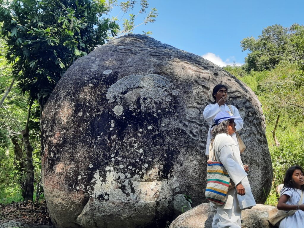
Background photograph: Duanama, another Kogi programme site. C Level project photograph.